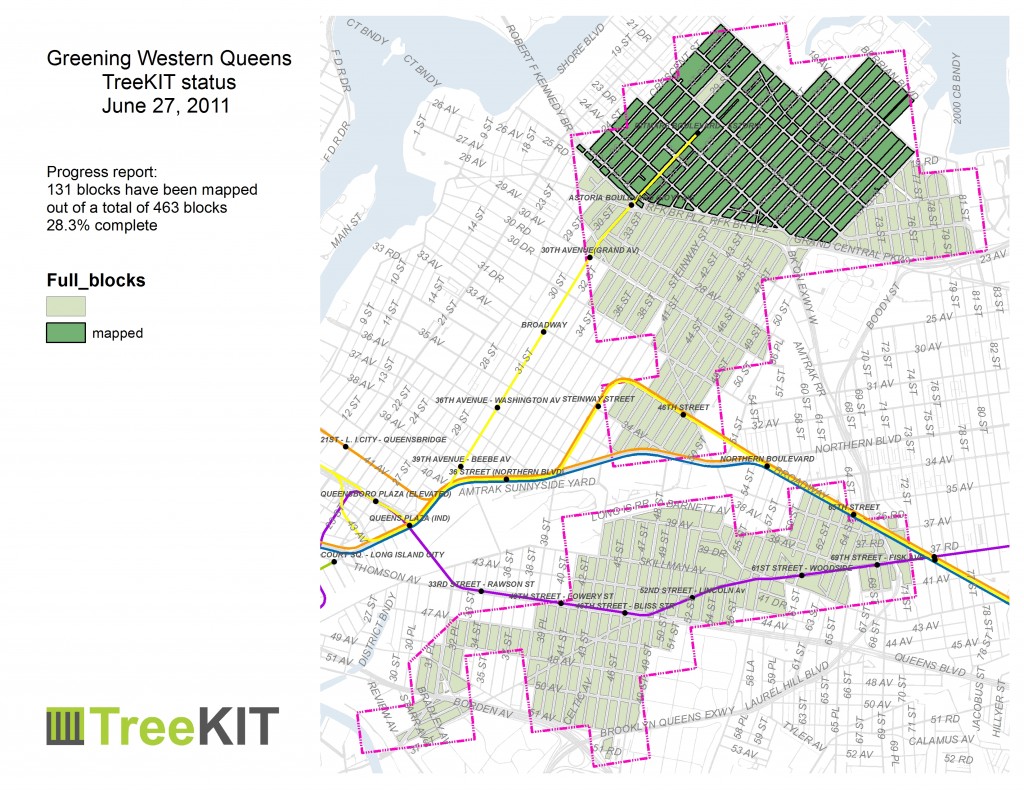
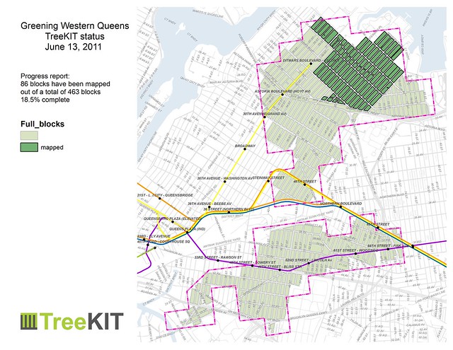
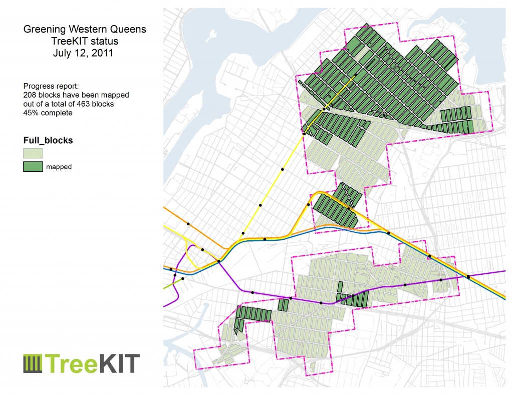
 Lots of new groups braved the hot hot heat in the last few weeks. See the map for the “toeholds” started across Sunnyside and Woodside. Groups included the NYC Department of Health – Queens Plaza building, NYC Parks – Central Forestry, NYC Parks – Sustainable Parks, and the MilliontreesNYC program team. The July 9th kick-off event spearheaded by Partnership for Parks near the 42nd Street R/M subway station raised awareness among community residents about how they can get involved with the many initiatives that are part of Greening Western Queens.
Author Archives: admin
Stump Removal Backlog (pun intended)
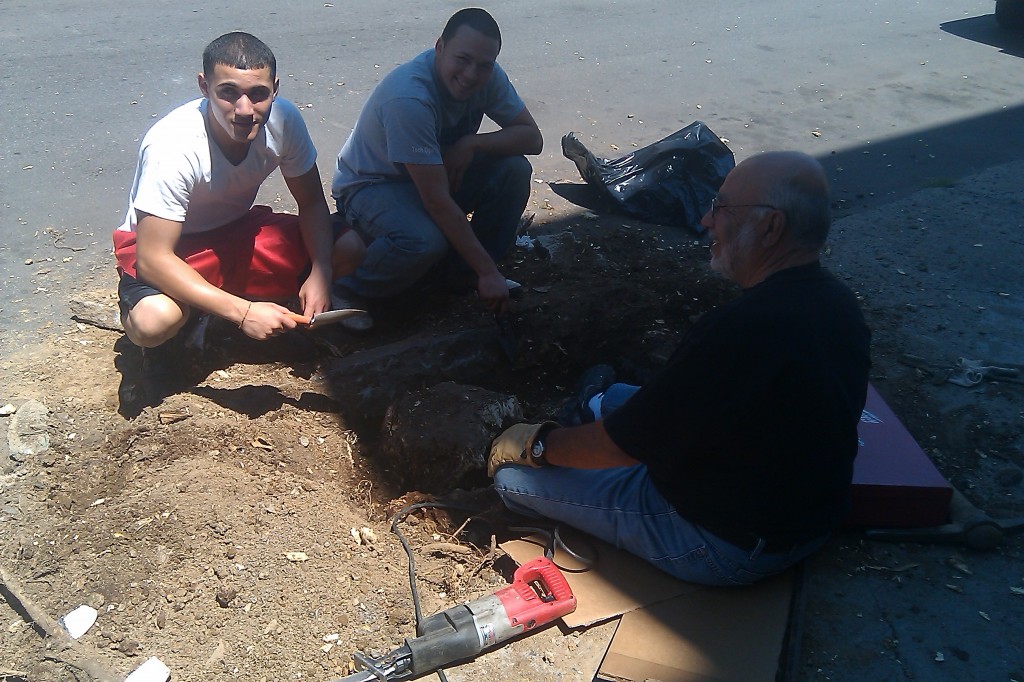
It can be tricky to plant a new tree if there’s a stump in the way. These intrepid homeowners in Bushwick are doing it themselves, helping (un)pave the way to get a new tree planted. Continue reading
Greening Western Queens: 4th of July
Greening Western Queens update
Vice Magazine exposé on Prospect Heights tree vandalism
Thriving in Astoria
Greening Western Queens update
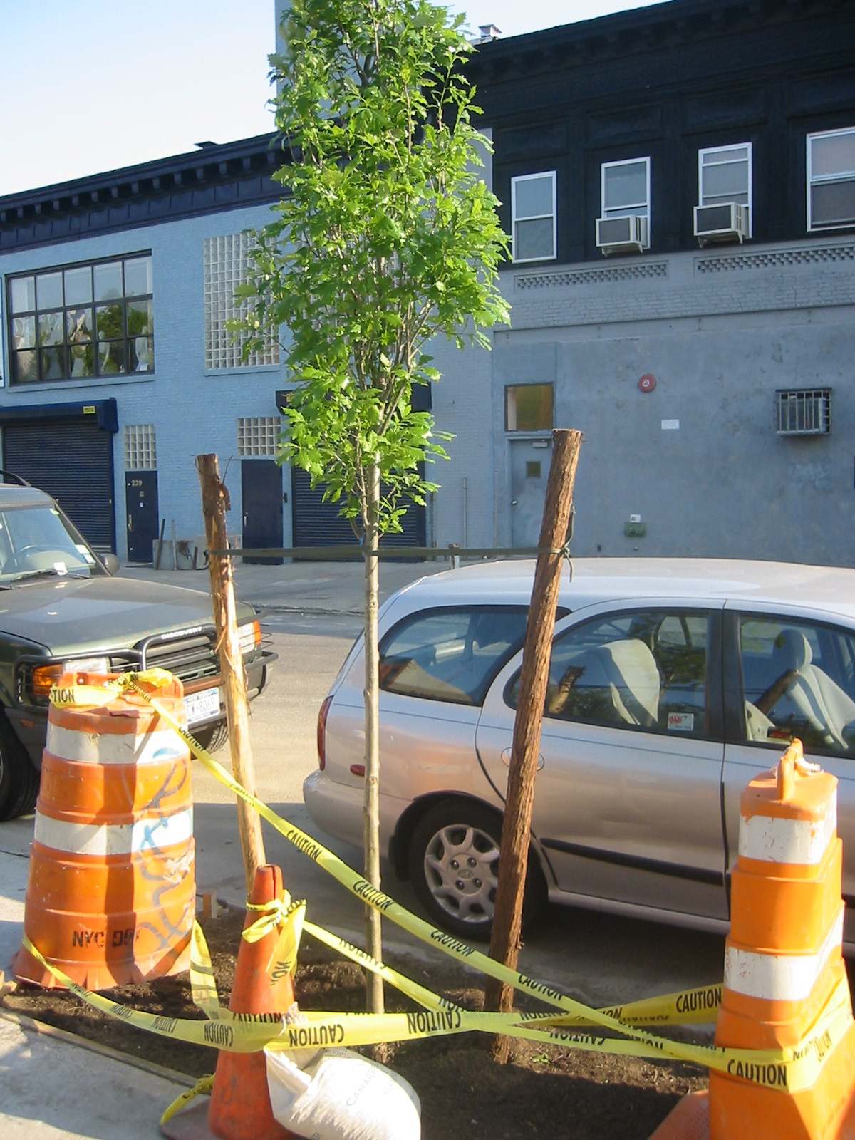 After participating in the Vibrant Cities & Urban Forests Task Force last week, we’ve been thinking a lot about the connections between TreeKIT projects and other urban forestry initiatives throughout the country. One link that keeps coming up involves research and scholarship around urban ecosystems.
As a “citizen” or “street” science project, we aim to develop methods of collecting data on the urban forest that reflect ideas and insights in cutting-edge urban ecosystem research. So we’re very pleased to have come across this passage in a groundbreaking 2008 journal article on “community-based urban land management” by Erika Svendsen and Lindsay Campbell of the US Forest Service :
“…there remains a great deal of work to be done in the coordination of urban ecosystem management. This is not to suggest that all management in cities should be centralized, but [our] findings suggest the need to recognize and harness the degree of diversity, autonomy and effectiveness among public and private sector stewardship regimes.”
TreeKIT’s approach to measuring, mapping, and managing the urban forest draws deep inspiration from research projects like this one. Our aim is to develop an interactive, web-based map of street trees in New York City that helps volunteers, non-profits, and government agencies coordinate and collaborate without a central authority managing their work.
Interested in learning more? Send us your information and let us know if you’d be interested in mapping street trees in NYC this summer. We’ll need your help to build the kinds of maps we’re dreaming of!
Vibrant Cities & Urban Forests
Philip Silva, TreeKIT co-founder, was nominated to serve on the Vibrant Cities and Urban Forests National Task Force, meeting this week in Washington D.C. A picture of the team planting a magnolia from Andy Lipkis: http://twitpic.com/4ho5ao. More on this soon…
TreeKIT with Food Census at Pratt March 27
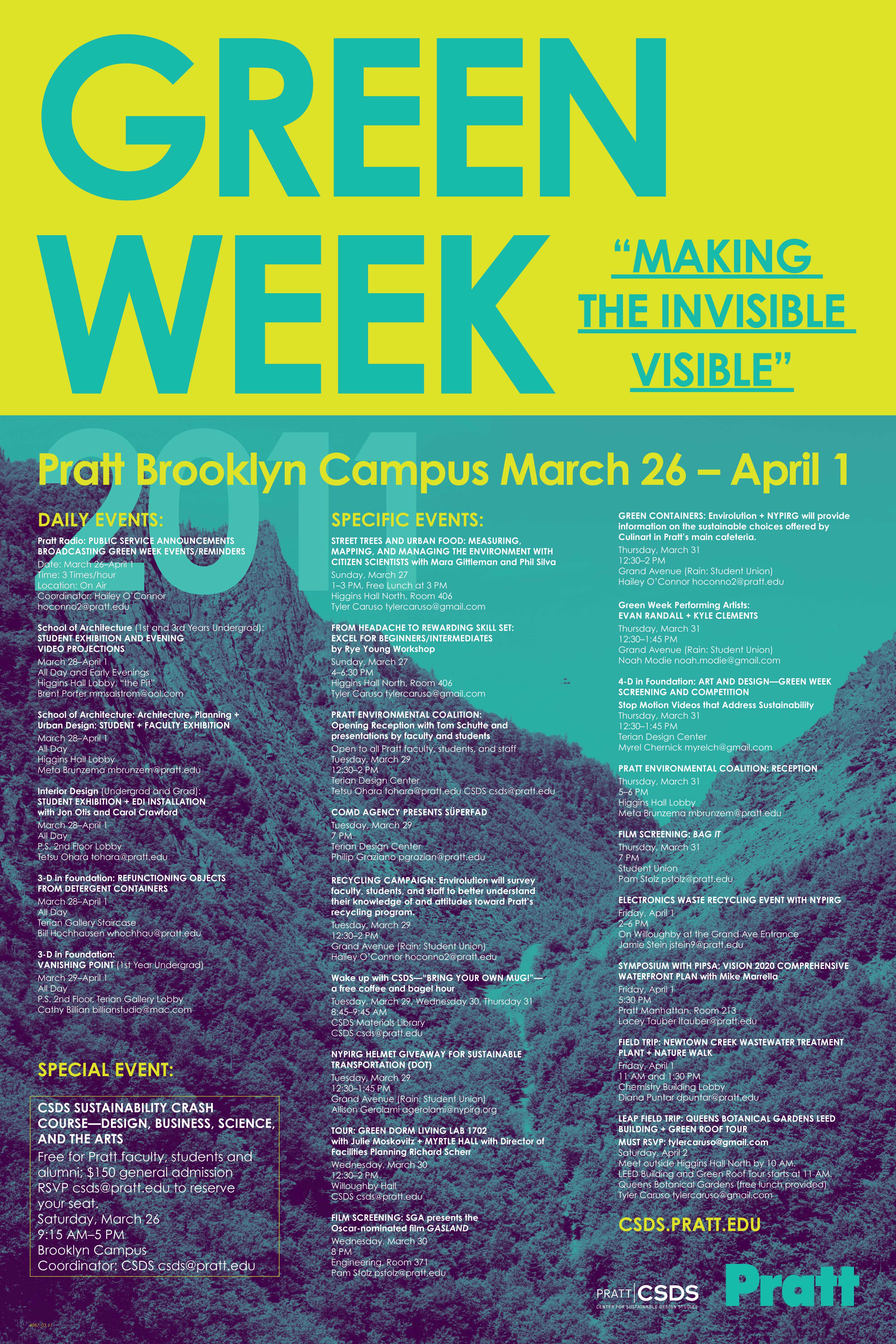
Leadership in Environmental Advocacy at Pratt presents:
(free and open to the public – please distribute widely)
“Street Trees and Urban Food: Measuring, Mapping, and Managing the Environment with Citizen Scientistsâ€
taught by Mara Gittleman & Phil Silva
WHEN: 1-3pm, Sunday March 27th
WHERE: Higgins Hall North 406
Free Lunch 3pm
Please RSVP: tylercaruso at g mail dot com
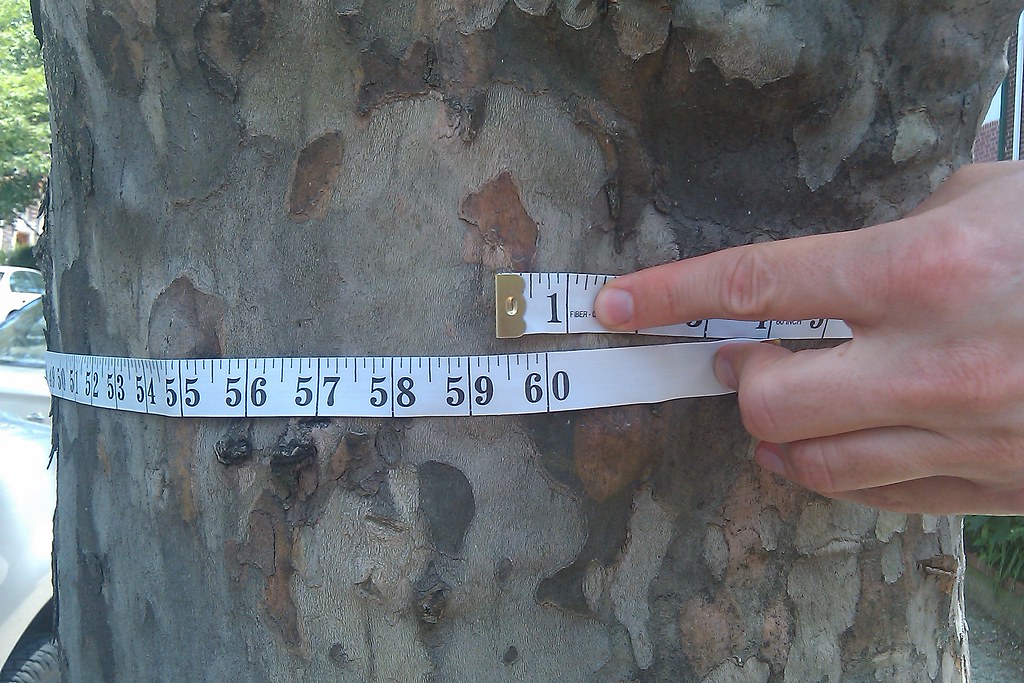
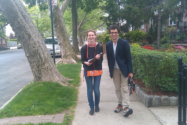
Community-generated data helps citizens coordinate and collaborate on environmental stewardship initiatives. The tools can be as simple as tape measures, scales, and a bit of code. This workshop goes into depth about three current NYC-based citizen science projects related to food justice and environmental stewardship. Following the talk, we will go an outdoor tree mapping excursion that will help build a set of tools for volunteers in central Brooklyn with TreeKIT co-founder Philip Silva and Food Census co-founder Mara Gittleman.

